Checked
Chatham-Kent parks directory
Chatham-Kent, Ontario, Canada
Find Chatham-Kent, Ontario parks and open spaces, with individual descriptions, recorded facilities, photos where verified and Google Maps.
Key information
Browse 210 park and open-space sections for Chatham-Kent. Search a name, street or recorded feature, then open that place’s map. The source scope and any missing information are explained below.
On this page
What this directory covers
| Detail | Coverage |
|---|---|
| Individual sections | 210 |
| Source scope | All 210 records in the official public CK Parks map source, including parks, arenas, halls, cemeteries and other city assets. Distinct asset IDs and addresses remain visible. This mixed inventory is not a claim to list every currently operating park. |
| Coverage limits | Some city totals or coverage need another check. Read the scope below. |
All 210 records in the official public CK Parks map source, including parks, arenas, halls, cemeteries and other city assets. Distinct asset IDs and addresses remain visible. This mixed inventory is not a claim to list every currently operating park.
Recorded facilities can be seasonal, closed or out of service. A blank field means not confirmed. A map point may mark park land rather than a public or accessible entrance.
Sources: Chatham-Kent official public parks map · Public parks map source layer · Complete public map dataset query · Chatham-Kent parks information
Find a park
Search the recorded names, streets, descriptions and facilities. Each result has its own section and map links. Only the places on the current page are downloaded.
Some pins mark park land rather than an entrance. Official park pages have current visiting details.
201 to 210 of 210 places
Water Tower Park
507 King Street, Wallaceburg, Chatham-Kent, Ontario
Water Tower Park in Wallaceburg has playground recorded through the city's facility-photo fields.
- Community
- Wallaceburg
- Features in city photo record
- playground
Sources: Chatham-Kent official public parks map · City parks map source record
Waterfront Park
315 James Street, Wallaceburg, Chatham-Kent, Ontario
Waterfront Park is a city-mapped site in Wallaceburg. The map record gives its location at 315 James Street.
- Community
- Wallaceburg
Sources: Chatham-Kent official public parks map · City parks map source record
Watson Park
27 York Street West, Ridgetown, Chatham-Kent, Ontario
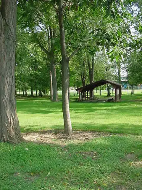
Watson Park in Ridgetown has picnic shelter recorded through the city's facility-photo fields.
- Community
- Ridgetown
- Features in city photo record
- picnic shelter
Sources: Chatham-Kent official public parks map · City parks map source record
West End Docks
155 Riverview Drive, Chatham, Chatham-Kent, Ontario
West End Docks is a city-mapped site in Chatham. The map record gives its location at 155 Riverview Drive.
- Community
- Chatham
Sources: Chatham-Kent official public parks map · City parks map source record
Westpointe Park
15 Dale Drive, Chatham, Chatham-Kent, Ontario
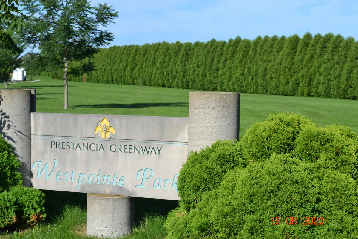
Westpointe Park is a city-mapped site in Chatham. The map record gives its location at 15 Dale Drive.
- Community
- Chatham
Sources: Chatham-Kent official public parks map · City parks map source record
Wheatley Area Recreation Complex
196 Erie Street North, Wheatley, Chatham-Kent, Ontario
Wheatley Area Recreation Complex in Wheatley has splash pad, tennis court, playground, picnic shelter, ball diamond, soccer field recorded through the city's facility-photo fields.
- Community
- Wheatley
- Features in city photo record
- splash pad, tennis court, playground, picnic shelter, ball diamond, soccer field
Sources: Chatham-Kent official public parks map · City parks map source record
Willcox Park
10 Willcox Street, Chatham, Chatham-Kent, Ontario
Willcox Park in Chatham has playground recorded through the city's facility-photo fields.
- Community
- Chatham
- Features in city photo record
- playground
Sources: Chatham-Kent official public parks map · City parks map source record
William G. Bourdeau Park
18 Fancy Court, Tilbury, Chatham-Kent, Ontario
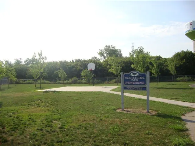
William G. Bourdeau Park in Tilbury has playground recorded through the city's facility-photo fields.
- Community
- Tilbury
- Features in city photo record
- playground
Sources: Chatham-Kent official public parks map · City parks map source record
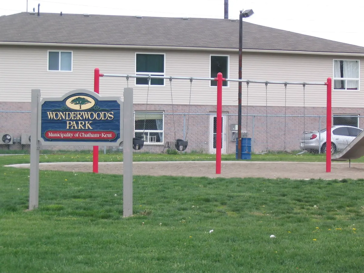
Wonderwood Park
15 Spencer Avenue/76 Patteson Avenue, Chatham, Chatham-Kent, Ontario
Wonderwood Park is a city-mapped site in Chatham. The map record gives its location at 15 Spencer Avenue/76 Patteson Avenue.
- Community
- Chatham
Sources: Chatham-Kent official public parks map · City parks map source record
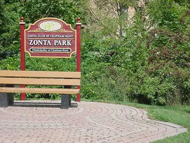
Zonta Park
9 King Street West, Chatham, Chatham-Kent, Ontario
Zonta Park is a city-mapped site in Chatham. The map record gives its location at 9 King Street West.
- Community
- Chatham
Sources: Chatham-Kent official public parks map · City parks map source record
Planning your park visit
How many parks are in the Chatham-Kent source?
The city parks page reports 184 park locations. Its public CK Parks map contains 210 mixed assets, including buildings and infrastructure, while an older park-land layer has 166 polygons. This guide retains all public map records and does not treat those different counts as interchangeable.
What do the recorded facility features mean?
The public map includes photo-reference fields for playgrounds, courts, pools and other features. This guide labels those as features in the city photo record. They do not confirm that a facility is open or that an image shows present conditions.
Source: Public parks map source layer
How can I find a park in my community?
Use the Community fact in each section. The official layer records places across Chatham-Kent, including Chatham, Dresden, Ridgetown, Tilbury and Wallaceburg.
Are outdoor fitness stations free?
The municipality says its Fit Parks are free to use. It lists ten fitness locations on its parks page.
Source: Chatham-Kent parks
How many skateboard parks does the city list?
The city parks page lists ten skateboard parks. They are unsupervised and their use depends on safe weather conditions.
Source: Chatham-Kent parks
Can I use a skate park when it is icy?
No. The municipality says not to use skate parks in dangerous wet or icy conditions. Inspect the park and wear protective gear.
Source: Chatham-Kent parks
Where is John Waddell Dog Park?
It is at 59 Water Street in Chatham. The city's page lists fenced space, double-gated entrances, picnic tables and access to a wooded trail area.
Source: Chatham-Kent parks
Where is Happy Tails Dog Park?
It is at 181 Baldoon Road in Wallaceburg. The city lists double-gated entrances, parking, shade trees and picnic seating.
Source: Chatham-Kent parks
Does Central Bark separate large and small dogs?
Yes. The city says Central Bark, in Tony Stranak Conservation Area off Brown Street in Dresden, has separate fenced spaces.
Source: Chatham-Kent parks
How do I report a problem in a park?
The city's parks page links an online service request for park conditions and safety concerns.
Source: Chatham-Kent parks
Official park information
- Chatham-Kent official public parks map
- Public parks map source layer
- Complete public map dataset query
- Chatham-Kent parks information
Sources: Chatham-Kent official public parks map · Public parks map source layer · Complete public map dataset query · Chatham-Kent parks information