Local life · Chatham-Kent, Ontario
Published
The Thames reaches Chatham carrying a much bigger story than its banks can show
The Thames watershed connects upstream fields, streets and watercourses with downstream communities, including Chatham-Kent. The 2023 Lower Thames report graded surface water and forests D, wetlands F and groundwater B. These regional indicators identify different concerns; they are not current safety tests for a particular swimming place or well.
Facts checked
In this story
The river has neighbours you cannot see from the bridge
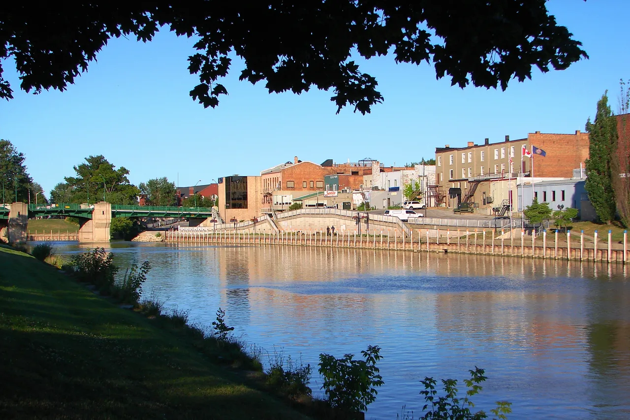
Looking at the Thames in Chatham, you see the water passing now. You do not see every field, street and smaller stream that helped send it there. A watershed map adds that missing company, and makes a familiar river look considerably less local.
That was the force of a map shared in Chatham-Kent’s local forum. Contributors worried about surrounding farmland, pesticides, tree loss and the river’s muddy appearance. Those concerns point upstream as well as along the bank, although a confident account of one cause cannot explain every condition in the water.
Source: Lower Thames Valley Conservation Authority:2023 watershed report card
Source: Chatham-Kent Reddit discussion:water-thread
The report card is not a cheerful read
The Lower Thames Valley Conservation Authority’s 2023 report gave surface water and forests D, wetland cover F and groundwater B. The B matters: conditions were not being graded as one undifferentiated problem. Even so, there is little temptation to put most of this report on the fridge.
Surface-water assessment included phosphorus and E. coli at monitoring stations, with limits in the available information. These are regional indicators, not today’s swimming test or an assessment of one household’s well.
A watershed is the land draining into a connected water system. Rain on a road, field or backyard can reach the river through smaller watercourses. The municipal boundary is useful for administration; the water has other arrangements.
Source: Lower Thames Valley Conservation Authority:2023 watershed report card
The work is in the landscape as well as the channel
The authority’s 2024 reporting describes multi-year work to reduce phosphorus and work with agricultural land. Cover crops, streamside buffers and better field information are practical ways to keep useful soil and nutrients from being washed away.
That is a more productive relationship with farming than treating the presence of a field as an answer to every river question. Runoff has different sources, and effective work needs measurements that connect the source with the effect.
Trees and wetlands also do more than make a view greener. Established woodland supplies ecological functions that new planting cannot immediately replace; wetlands hold water and help filter what moves through. Protecting what remains and establishing new growth are related jobs, not interchangeable ones.
Source: LTVCA:2024 annual report and phosphorus reduction
Source: Lower Thames Valley Conservation Authority:2023 watershed report card
Bring the large map back to one place
For a particular concern, start with the nearby creek, its subwatershed and the monitoring available for it. Use current public-health advice or the relevant test for swimming, drinking water or a well, rather than applying a 2023 regional grade to one location today.
The scale can feel discouraging, but it also makes responsibility less mysterious. A change along a small watercourse can matter beyond the property where it happens, just as upstream choices arrive in Chatham-Kent.
The river beneath the bridge is the visible part. The story includes the landscape behind it, with many opportunities to keep less of that landscape from washing through town.
Source: Lower Thames Valley Conservation Authority:2023 watershed report card
Source: LTVCA:2024 annual report and phosphorus reduction
Source: Chatham-Kent Reddit discussion:water-thread
Questions people ask
What is a watershed?
Land that drains through connected creeks and rivers toward a common body of water.
Source: Lower Thames Valley Conservation Authority:2023 watershed report card
Can upstream actions affect Chatham-Kent?
Yes. Connected water carries effects downstream.
Source: Lower Thames Valley Conservation Authority:2023 watershed report card
What surface-water grade did the 2023 report give?
The 2023 Lower Thames report graded surface water D.
Source: Lower Thames Valley Conservation Authority:2023 watershed report card
What forest grade did it give?
Forest conditions received a D in the 2023 report.
Source: Lower Thames Valley Conservation Authority:2023 watershed report card
What wetland grade did it give?
Wetland cover received an F, identifying a particularly poor regional indicator.
Source: Lower Thames Valley Conservation Authority:2023 watershed report card
Was groundwater graded the same?
No. The report gave groundwater a B, a different result from its surface-water and land-cover grades.
Source: Lower Thames Valley Conservation Authority:2023 watershed report card
Does the report test a riverbank today?
No. It summarises a reporting period and regional measurements.
Source: Lower Thames Valley Conservation Authority:2023 watershed report card
Can new planting instantly replace mature forest?
No. The report says the ecology of an older forest takes much longer to replace.
Source: Lower Thames Valley Conservation Authority:2023 watershed report card
Is work being done with farms?
The authority describes phosphorus reduction and soil-protection work with agricultural land.
Source: LTVCA:2024 annual report and phosphorus reduction
Why does the Thames watershed map matter to people in Chatham-Kent?
It shows how upstream communities, farms and watercourses are connected to the river flowing through the area.
Source: Lower Thames Valley Conservation Authority:2023 watershed report card
Something changed? Tell us about a correction.